ReelAir Imagery
I am passionate about capturing the perfect shot. I am committed to delivering the best results for My clients by being attentive to all their needs and adopting a detail-oriented and professional approach.
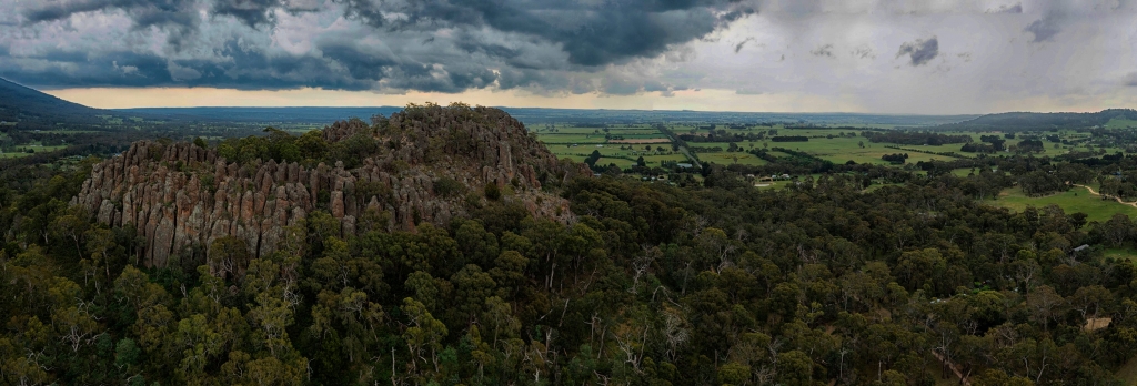
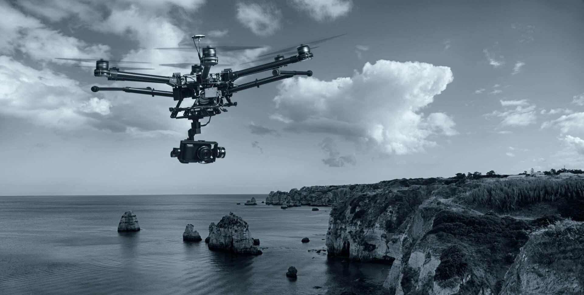
From My office in Bendigo I provide professional services using Unmanned Aerial Vehicles (UAVs, more known commonly as ‘drones’). Whether you are looking for Film, Photography, asset inspections, high- resolution 3D aerial maps, stockpile volume analysis or anything else requiring airborne sensing, ReelAir have experienced staff and the best equipment to reliably deliver accurate and high-quality outputs. ReelAir Imagery provides aerial mapping and inspection services to the survey and natural resource management industries. We are also well equipped for any drone related work from general aerial photography through to challenges requiring custom solutions of software and hardware R&D. Having completed over 500 flights to date, ReelAir Imagery is an experienced drone service provider. We have a diverse range of multi-rotor configurations, ensuring we have the right tool for the job and capacity and flexibility to deliver the most challenging projects at short notice. ReeiAir Imagery is certified by CASA, (ReOC.0124), and I maintain the strictest safety systems and are fully insured for public liability


Operating Area
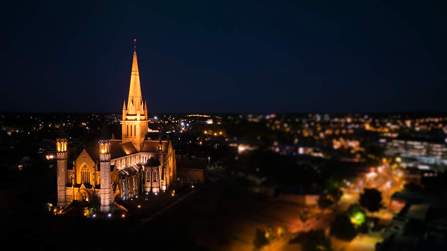
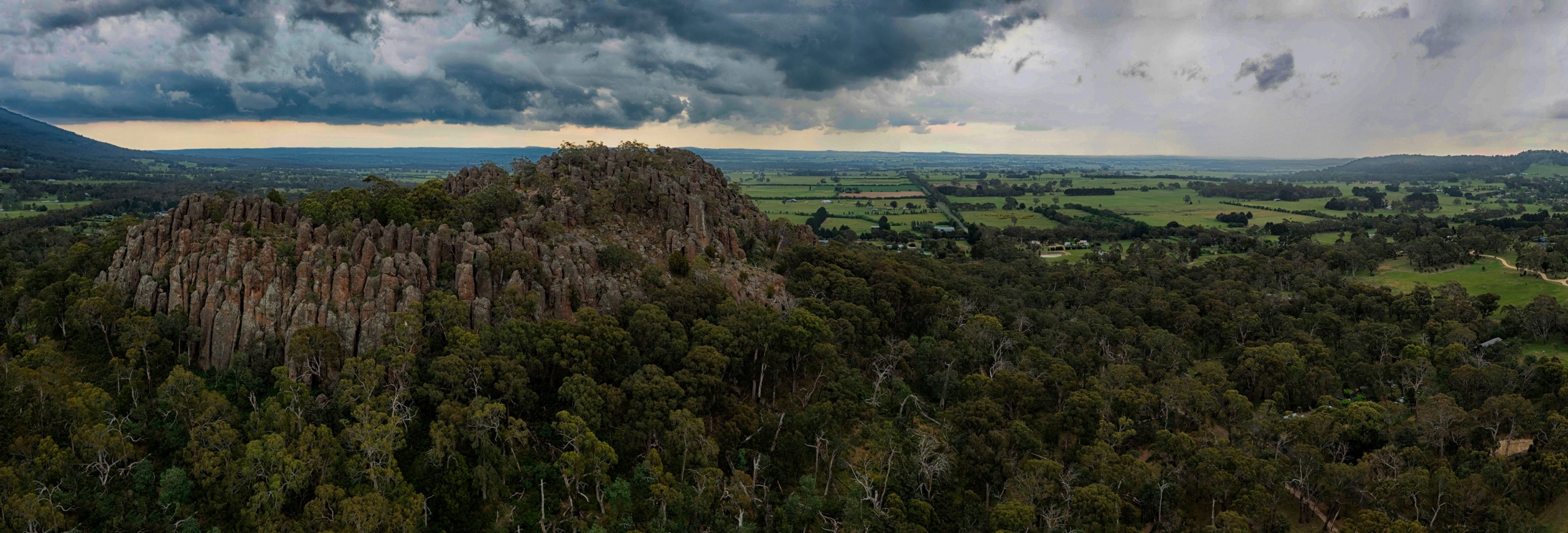
Located in Bendigo, Central Victoria,
We can and do travel Australia wide, And if we can’t make it,
Im confident I know someone that can get your job done.
