
What We Offer
ReelAir Imagery provides professional aerial Film/Photography, aerial mapping, survey and inspection services, using our cutting-edge drone technology.
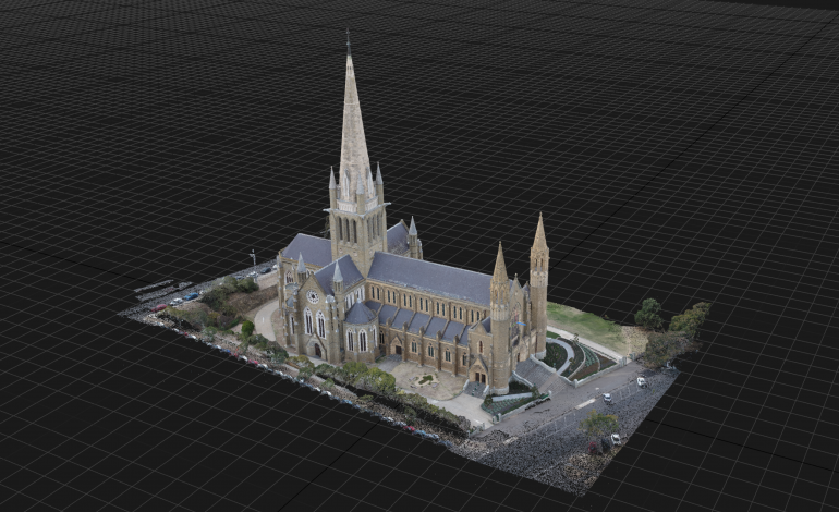
Scale Digital Models
Cost Effective
Great for Presentations
4k Resolution
Dynamic
Amazing
Inexpensive
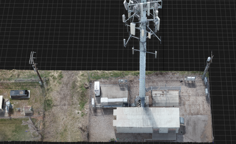
High Resolution Imagery
3D Modeling
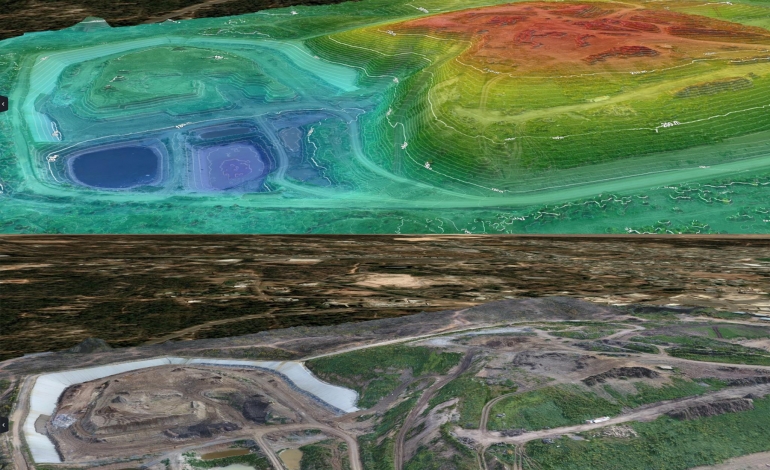
Drainage and flood investigations
Waterway erosion identification
Wetland and drainage infrastructure
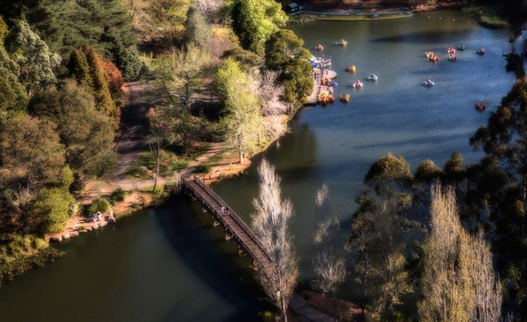
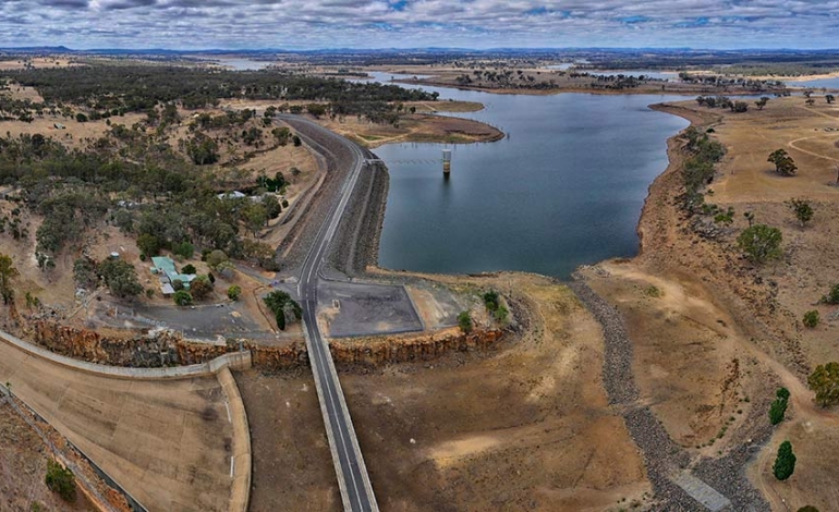
As well as Aerial Inspection and Survey services, ReelAir can also provide stunning drone aerial photography and video footage.