Also known as photo mapping or drone surveying, our service combines cutting-edge drone technology with advanced software mapping capabilities and reliable information delivery.
Drones provide the ability to capture on-demand maps for a fraction of the cost of traditional approaches using manned aircraft, and at a much higher resolution than satellites or ground-based capture.
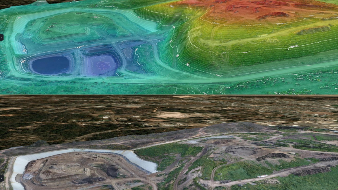
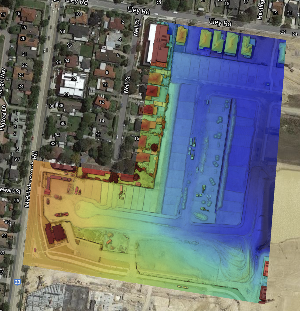
The resolution of our maps and survey data is usually between 1- 3cm per pixel (1-3cm GSD). We process the data to deliver full 3D terrain models (e.g. DSM, DTM) and the accuracy of the 3D data is generally around 50mm horizontal and 50-80mm vertical.
Typical uses:
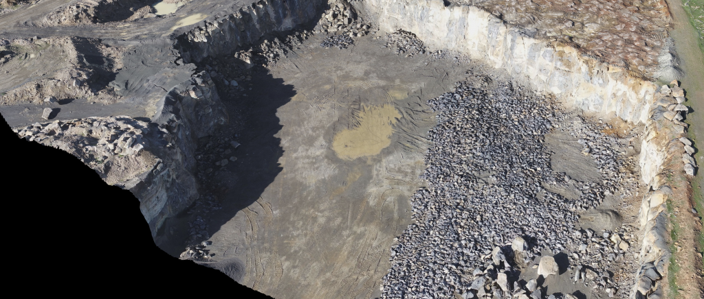
- Mine/quarry contour mapping
- End of Month stockpile volume analysis
- Road/rail alignment mapping
- Bulk earthworks assessment for sub-division development
- Drainage and flood investigations
- Waterway erosion identification
- Wetland and drainage infrastructure as built drawings
- Farm flood irrigation design