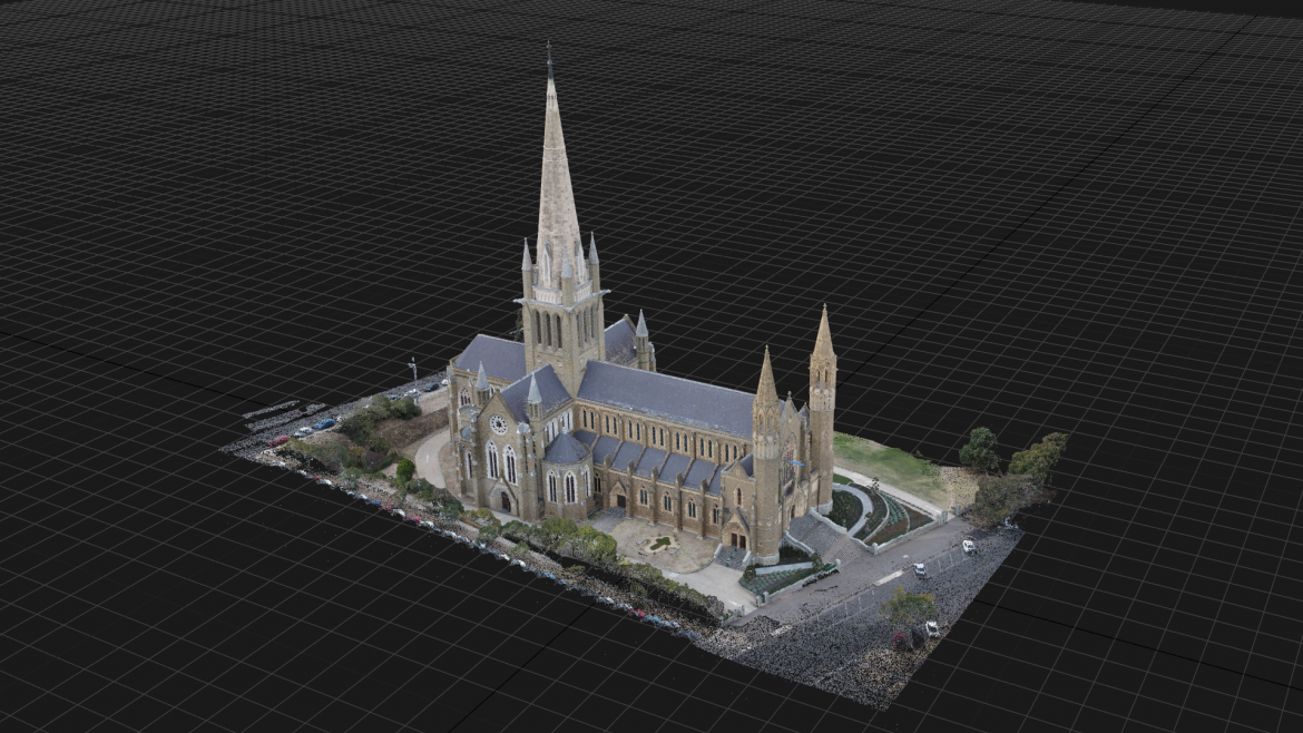
Drones are versatile tools that can be used for a wide variety of applications. One of the newer use cases for drones is to help create 3D models, thanks to special software programs that can turn aerial images into digital spatial models. Photorealistic three-dimensional (3D) models are fundamental to the spatial data infrastructure of a digital city, and have numerous potential applications in areas such as urban planning, urban management, urban monitoring, and urban environmental studies. Recent developments in aerial oblique photogrammetry based on unmanned aerial vehicles (UAVs) offer promising techniques for 3D modeling.

